If you’re a fan of astronomy and / or the history of science, check out this marvellous SETI Institute talk by Henrik Hargitai.
Henrik is a NASA Ames researcher working in planetary geomorphology, community radio, planetary maps, typography and is on Twitter as @hargitai.
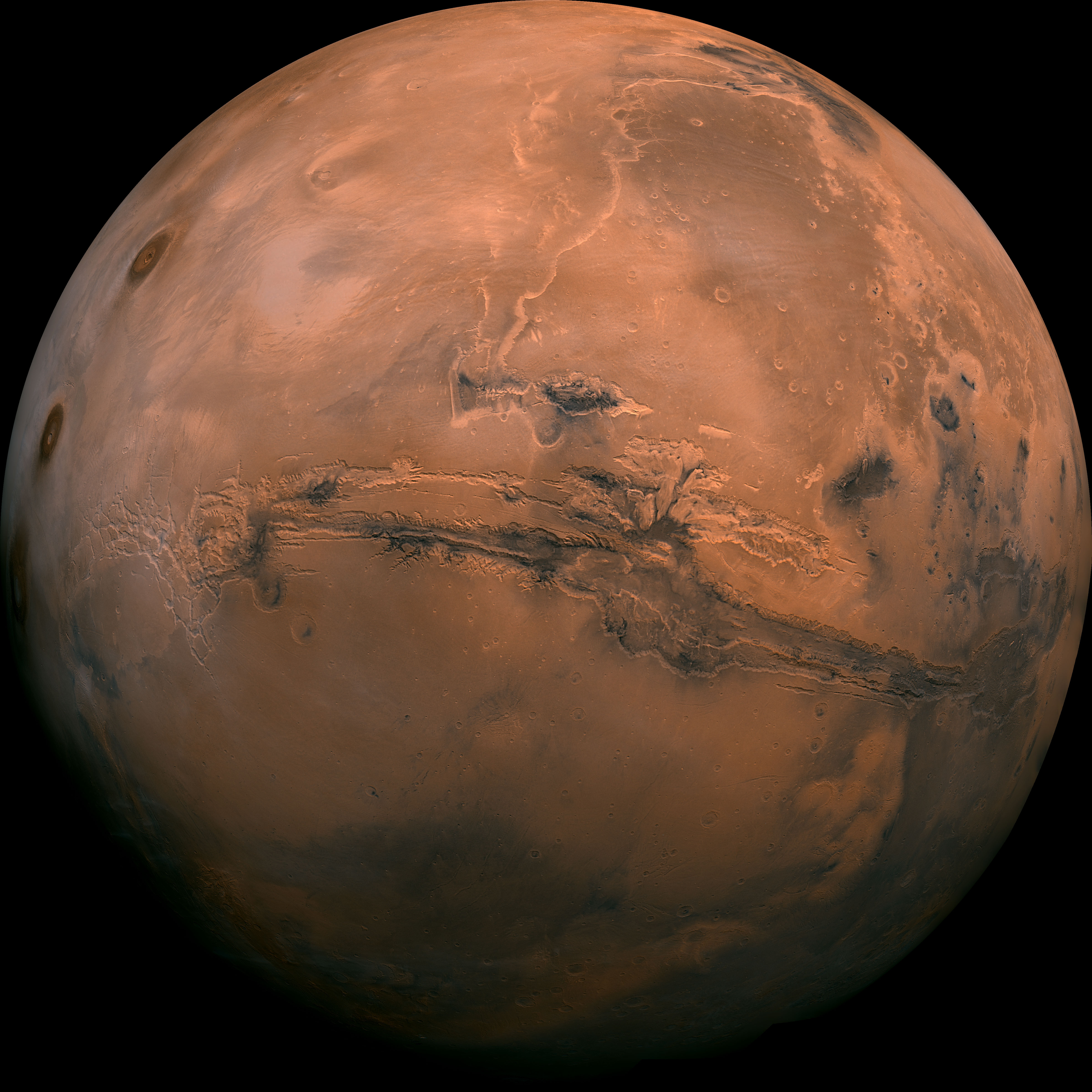
This talk outlines the history of the first 17th, 18th and 19th century astronomers and their efforts to map our Moon. It goes on to talk about the efforts to do the same on Mars and how the mapping process can help science and in particular in helping to select possible landing sites for future manned missions. Great stuff!
400 years of Planetary Cartography – mapping landing sites on Mars – Henrik Hargitai (SETI Talks)
“Since Galileo, astronomers and planetary scientists work hard to draw accurate representations of planetary surfaces. Planetary mapping today is a tool of geological investigation, landing site selection and also a visual statement of our ever expanding horizon of discovery. From copper engravings to dynamic online maps, the technique of presenting planetary maps changed a lot. In this presentation I will show some early examples of how planetary maps can communicate unspoken preconceptions (no, its not the canals), and show how we mapped the Navua Valles, which may have episodically provided habitable environments on the inner rim of Hellas Basin on Mars. The talk is part of the International Map Year celebrations.”
More information:
Commission on Planetary Cartography website
